The British Society for Geomorphology has issued three calls in Geomorphological research.
The first is Innovative and Emerging Techniques in Geomorphology.
Up to £10,000 (ideally £5,000) is available to support the development of new technology and/or analytical techniques in geomorphology as stated in the BSG Mission, Sections 1.5 and 1.6. It is envisaged that the pump-priming of new techniques in geomorphology will support applications to the RCUK. Applications must have a geomorphological focus.
Deadline: 30 September 2012
The second is Early Career Researcher.
Up to £10,000 (ideally £5,000) is available to pump-prime geomorphological research undertaken by an Early-Career Researcher (ECR). We define an ECR as a member of staff who holds an employment contract of 0.2FTE or greater and who started their academic career within four years of the closing date of applications. Note that to be eligible for this scheme, the primary employment function of applicants must be in ‘research’ or ‘teaching and research’, within any HEI or other organisation, whether in the UK or overseas.
PLEASE NOTE: Applicants should state the start date of their career on the application form.
There is no restriction on the type of support eligible for funding (e.g. conference, workshop, field visit, data purchase, lab costs), although consistent with other BSG grant schemes, they will not support salaries. Applications will be evaluated both for the quality of the research, and for its potential to pump-prime subsequent work.
Applicants to the ECR scheme cannot be a Principal Investigator on any other grant bids to the BSG in the same funding round.
Deadline(s): 30 September and 1 February
The third is in Research Networks in SE Asia and China.
Up to £10,000 (ideally £5,000) is available to support development of research networks in SE Asia and China. The purpose of this grant is to bring together global partners with a research interest in the SE Asia or China region. It is envisaged the £10,000 may support one or more workshops or conferences hosted within the region by SE Asia or China colleagues. The region supported by these awards includes India but excludes Japan.
Deadline: 30 September 2012
All applications should be applied for Online through the BSG’s site.
The RKE Operations team can help you with your application.
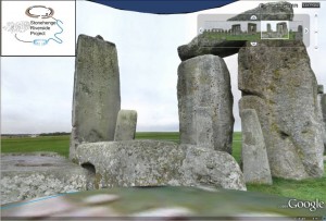
 Following the BU Research Blog entry of 12th July, entitled ‘
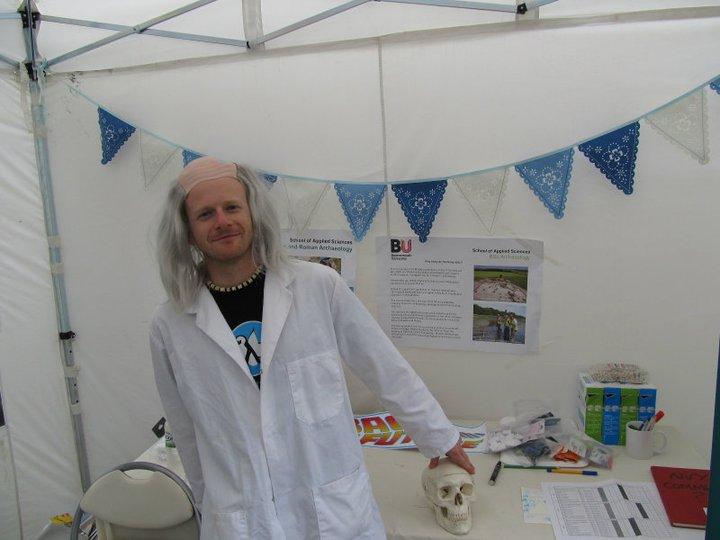
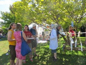
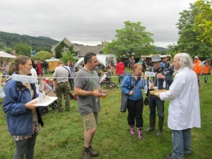 The event was massively successful with well in excess of 1,000 people of all ages visiting the stall and engaging in activities over the weekend. Feedback was hugely positive and follow up events at other festivals are already in the initial stages of planning.
 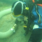 Dave Parham
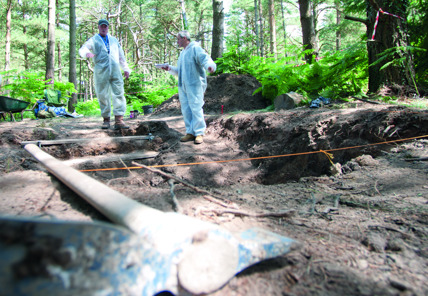
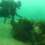 The wreck has been featured on the One Show (6 April 2011) where presenter Dan Snow took part in a dive on the wreck in the mouth of Poole Bay alongside a team of BU Marine Archaeologists, led by Dave.
 Dave will also feature in the fourth episode of Britain’s Secret Seas, The Bustling South, on 29 May at 8pm on BBC2.
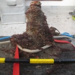 After conservation, finds from the Wreck and all the information from the excavation will be passed on to


 BU Annual Research Conference: Poster Exhibition Call for Applications
 Vitae Three Minute Thesis (3MT®) Competition: Applications Now Open
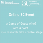 3C Online Social: Thursday 26 March 1–2pm – Research Culture, Community & Can you Guess Who?
 INRC book roundtable/presentation by Drs Jonathan Cole and Catherine Talbot, Wednesday 22/04/2026, 13:00h, P426
 ECR Funding Open Call: Research Culture & Community Grant – Apply now
 ECR Funding Open Call: Research Culture & Community Grant – Application Deadline Friday 12 December
 MSCA Postdoctoral Fellowships 2025 Call
 ERC Advanced Grant 2025 Webinar
 Update on UKRO services
 European research project exploring use of ‘virtual twins’ to better manage metabolic associated fatty liver disease